The Conservation of Civitas Londinum
Introduction
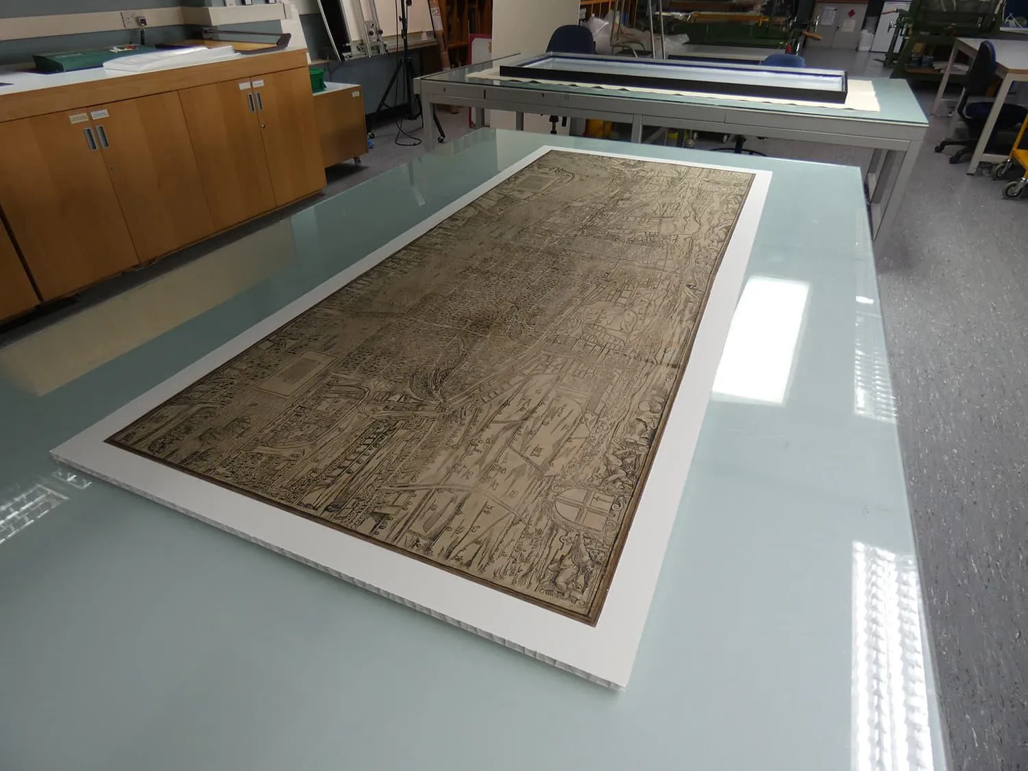
Civitas Londinum, sometimes known as the 'Woodcut Map of London', and previously known as the 'Agas Map', is believed to be the oldest surviving printed map of London. Only three copies are known, one of which is owned by The London Archives (TLA). It is a large item, measuring approximately 0.75 x 2 metres. In 2021, the map was conserved to prepare for an upcoming exhibition. It had been in storage for some time, after previously being on long term display in the Guildhall, and it needed work.
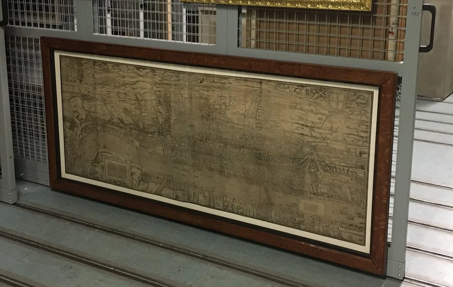
The mount and frame were ageing and increasingly unsuitable, while the map was discoloured with the yellowing effect often seen in old papers. To deal with this, the map needed to be washed.
‘Washing’ and ‘paper’ may not seem like two words that should go together, but in fact washing is a longstanding paper conservation treatment. The yellow discolouration dissolves in water, allowing some or all of it to be removed.
Obviously not all papers are safe to wash. Fragile, damaged papers or those with sensitive media like chalk, pastel or fountain pen go nowhere near the water. But printing ink like the one used for Civitas Londinum is usually stable in water, so after careful testing to confirm this, we decided to wash the map.
Washing
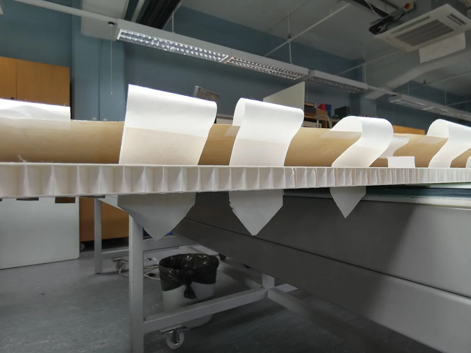
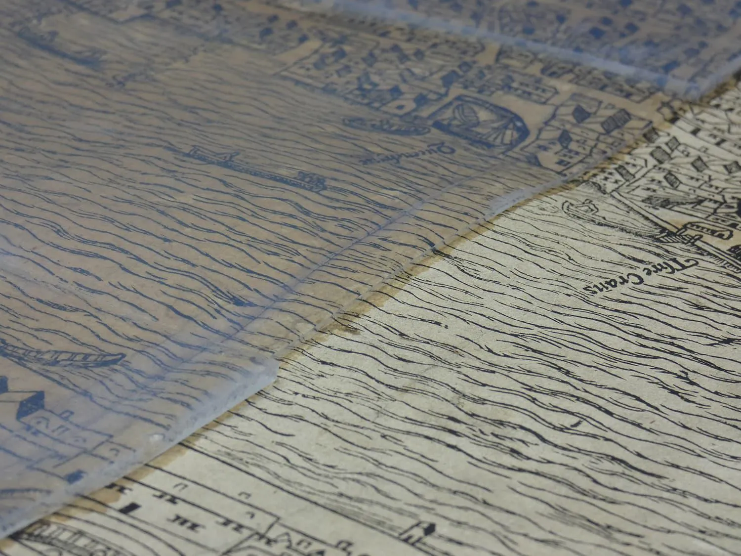
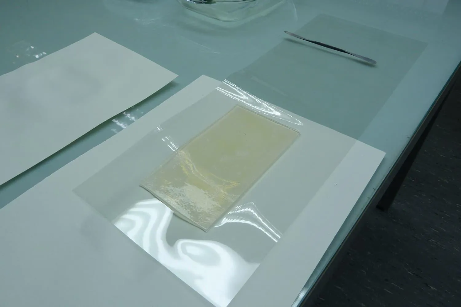
The classic way to wash prints is by immersing them in a tray of water, but the size of Civitas Londinum made this impossible. Instead, we decided to use Agarose gel, a clear ‘jelly’ that is widely used in conservation. When placed on top of a sheet of paper, the gel gradually releases a small amount of clean water into the sheet. The water dissolves discolouration, and the gel simultaneously re-absorbs the dirty water, removing it from the paper.
Although Agarose is widely used for conservation cleaning, it is typically only used on small areas of paper, so washing the whole surface of a large map was unusual and required a lot more sheets of the gel than normal! Careful testing on small areas of the map took place before we started washing on a larger scale, and then one vertical section of the map was washed at a time using several connected sheets of Agarose.
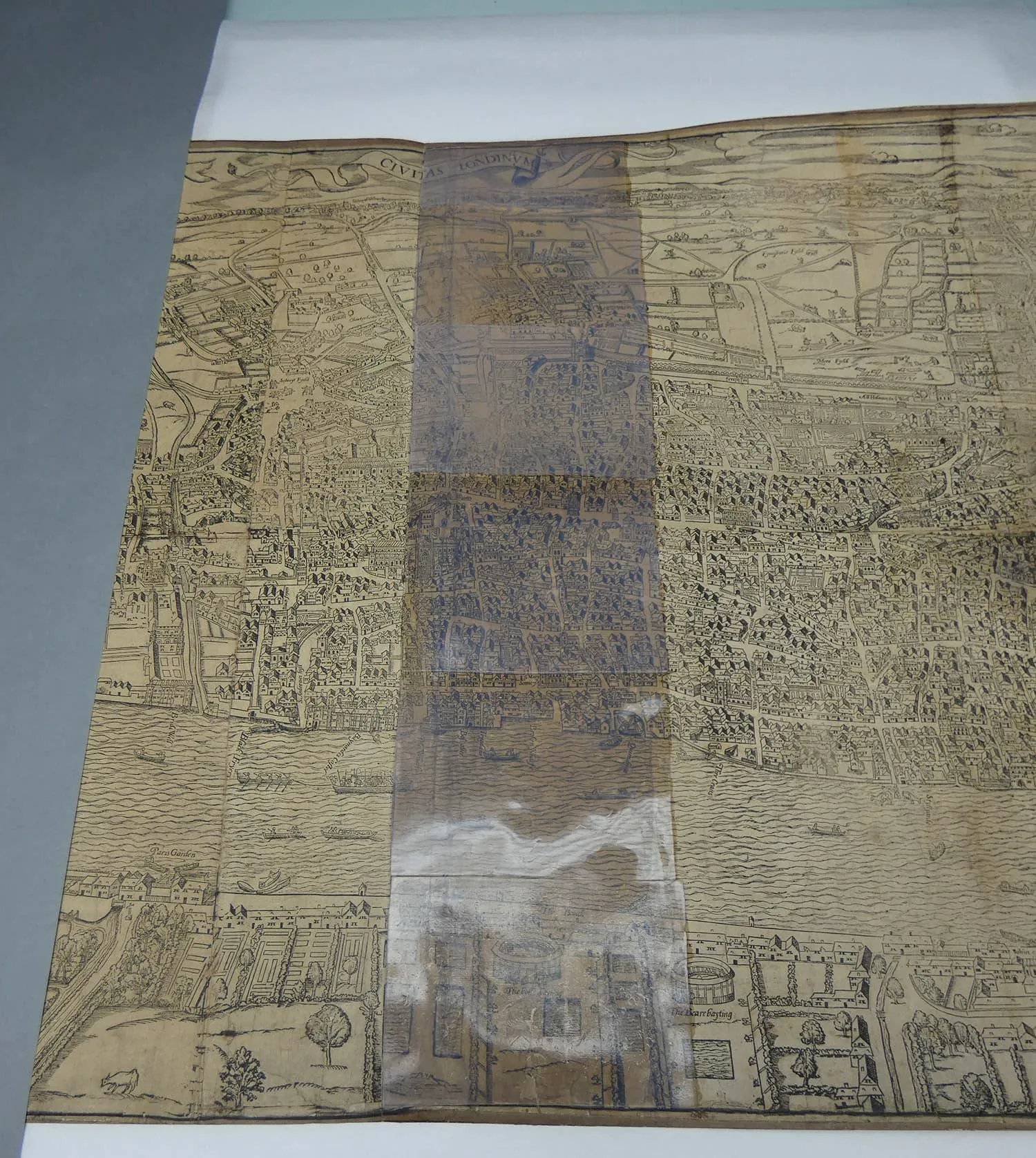
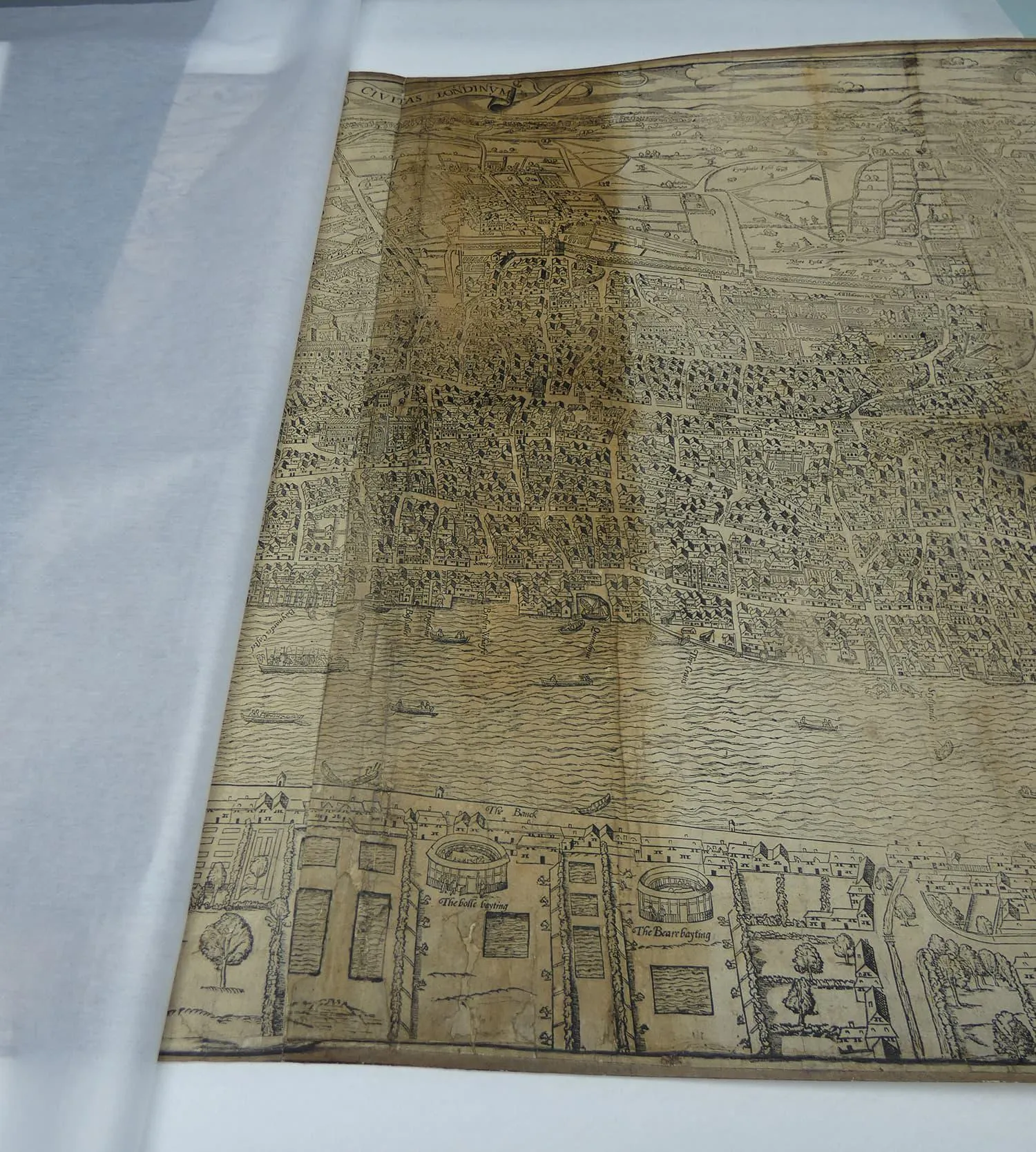
After 10 minutes we removed the gel, and the discolouration washed out of the map was visible within it.
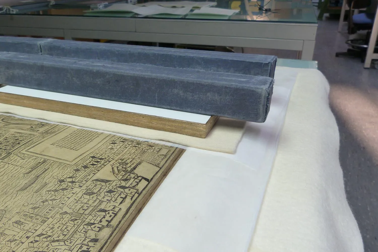
After washing, each section was dried between sheets of felt, with wooden pressing boards and metal weights on top to reduce the risk of the paper curling as it dried.
Preparing the map for display
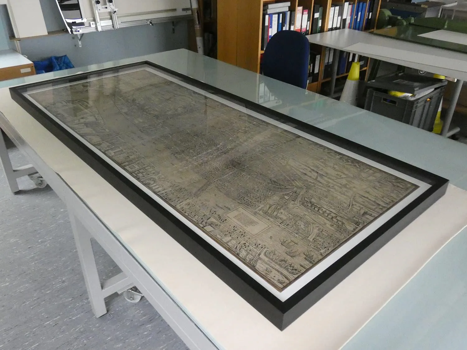
After the map was fully washed and dried it was ready for mounting and framing. The normal board used for mounting and framing prints and drawings was too thin to support such a large object, so instead the map was mounted onto a panel of honeycomb board. This is very solid due to its core, which consists of an interlaced web of paper hexagons. It is perfect for supporting large items like Civitas Londinum. The map was attached to the panel using tabs of Sekishu Shi, a high-quality Japanese paper. Finally, the map was placed in a bespoke frame ready for display.